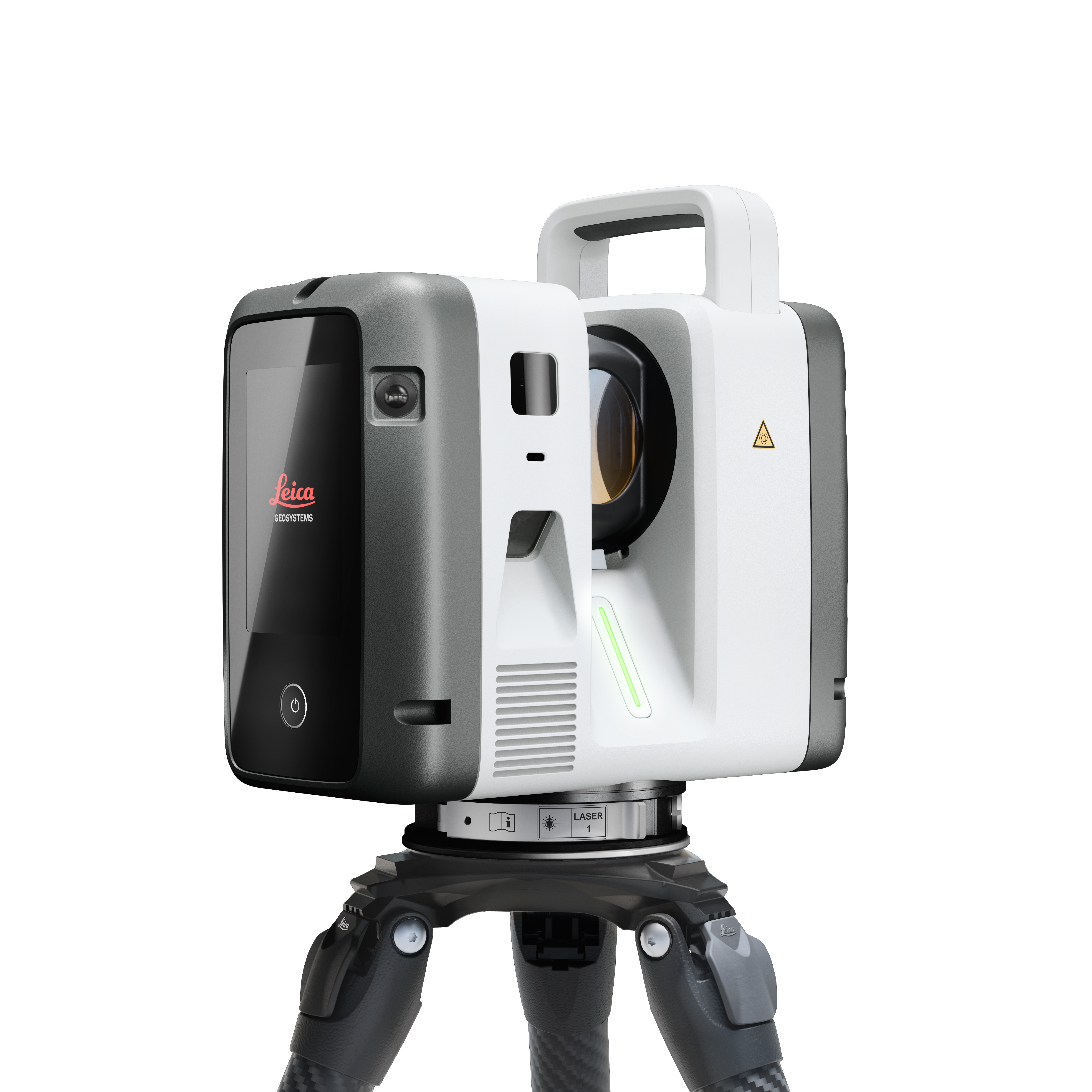
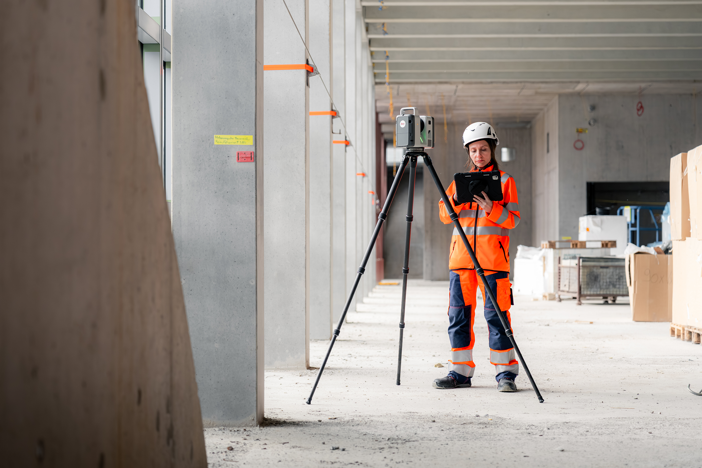
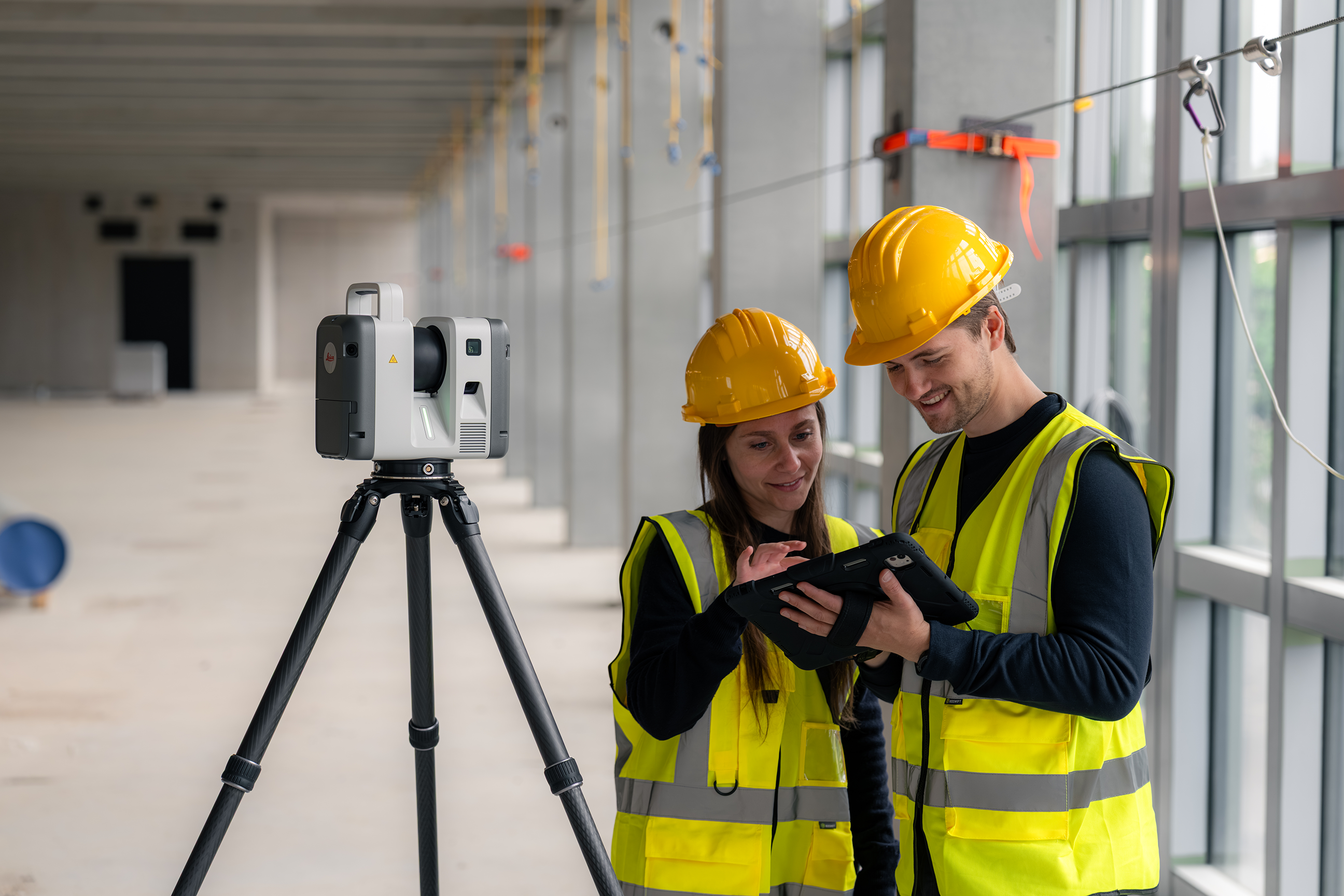
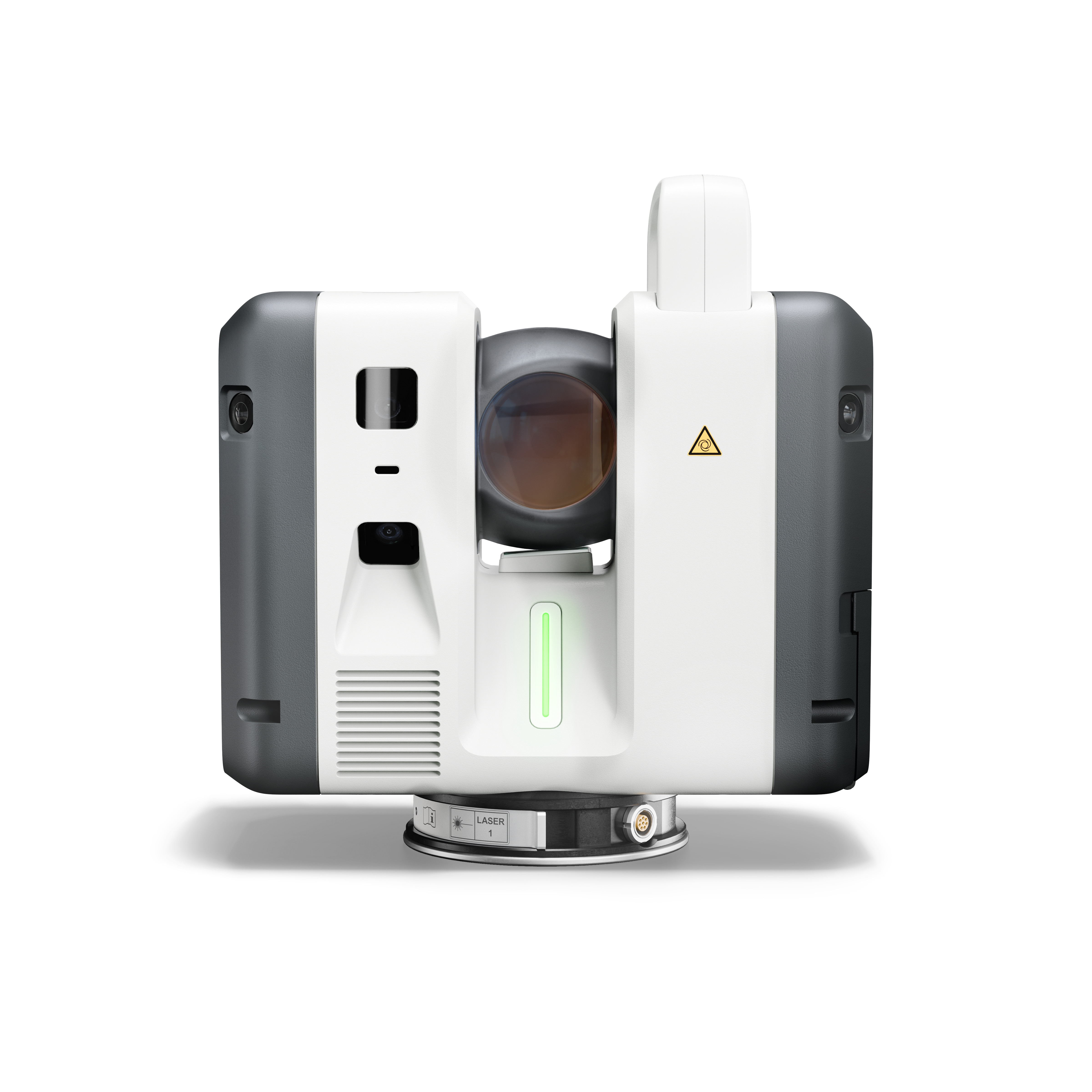
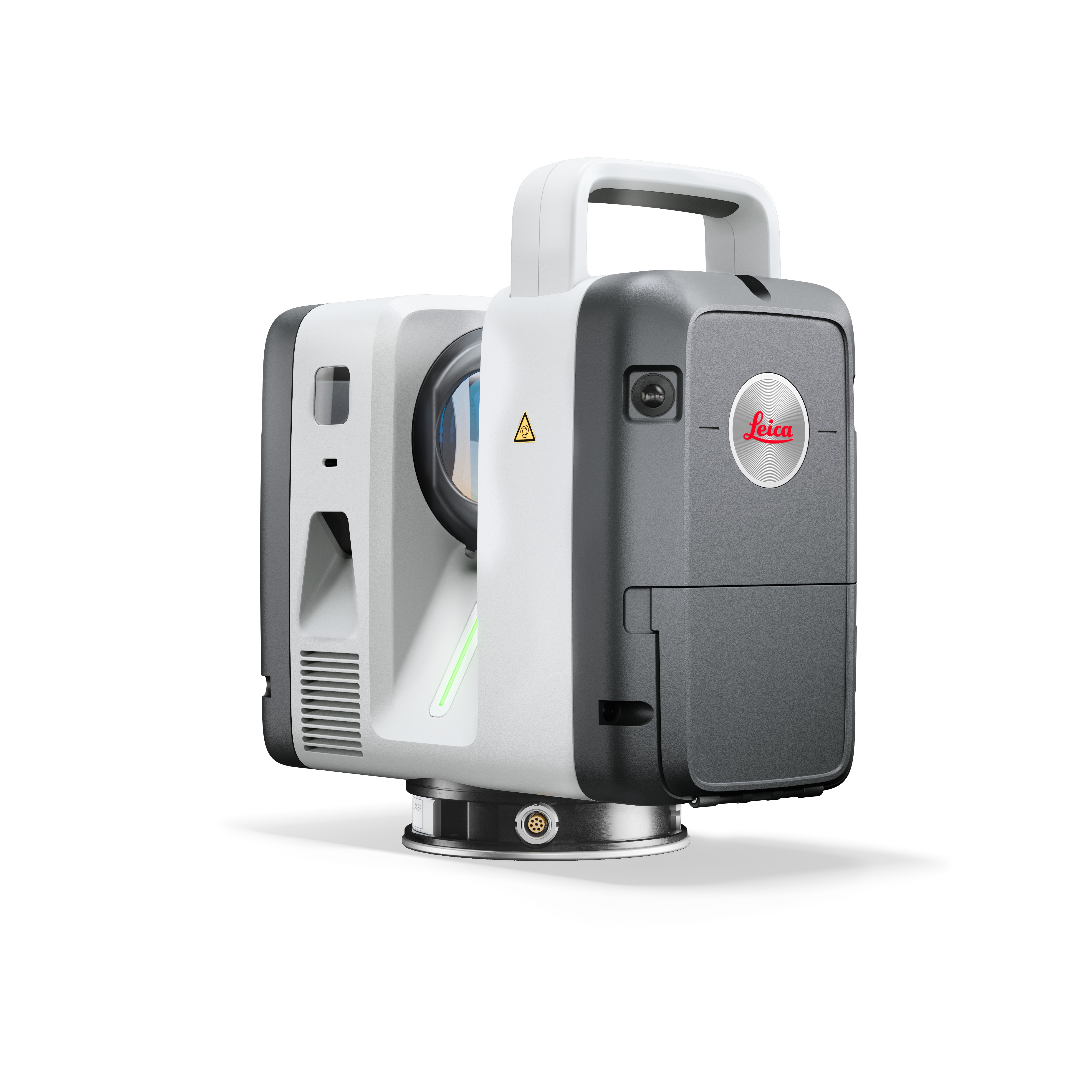
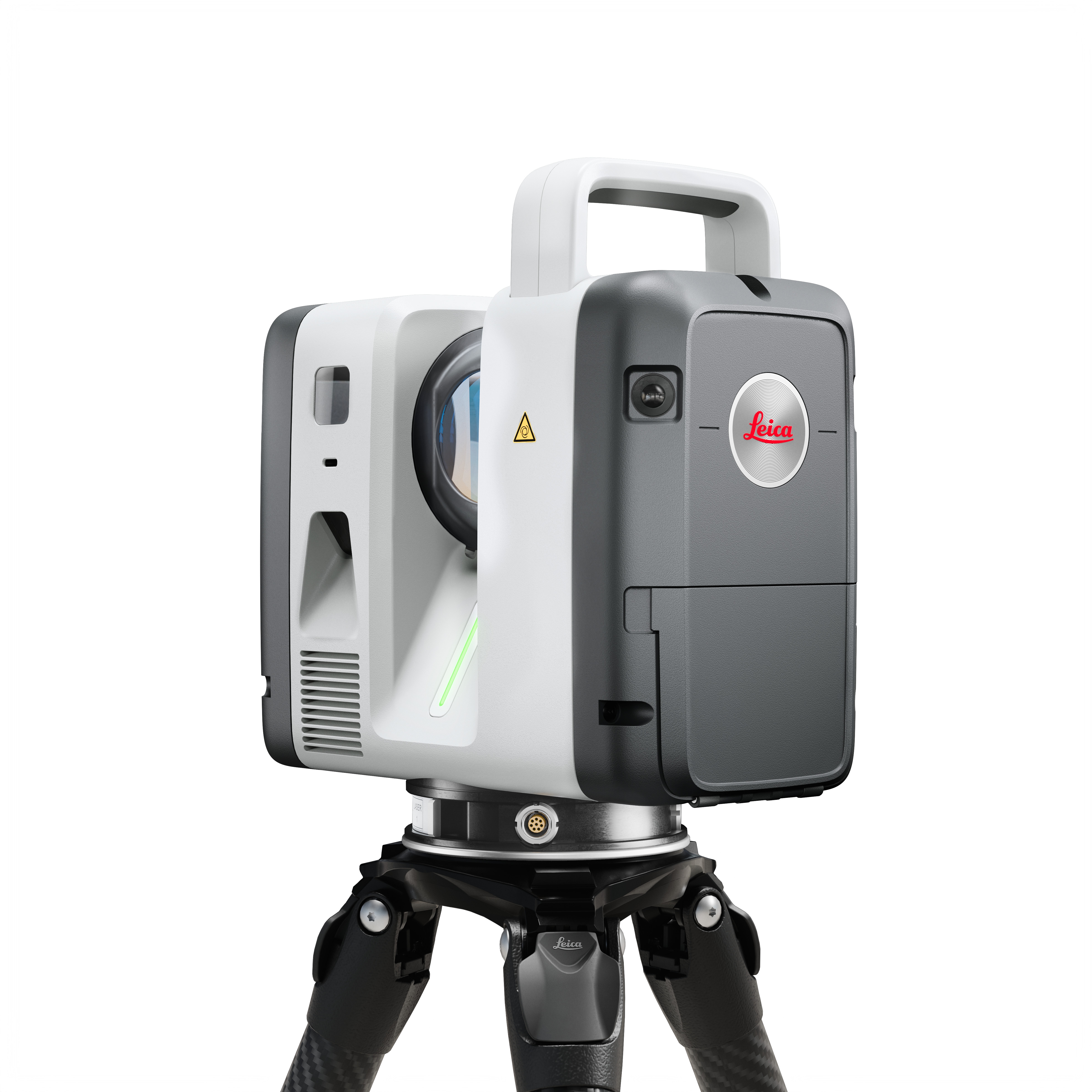
Building on the original Leica RTC360, the new Leica RTC Series combines the RTC360’s speed and versatility with the superior accuracy of the ScanStation P-Series in ONE smaller, lighter device.
The Leica RTC Series of terrestrial LiDAR scanners gives users the scanner best suited to their budget, reality capture needs like project scale and working conditions, and performance requirements.
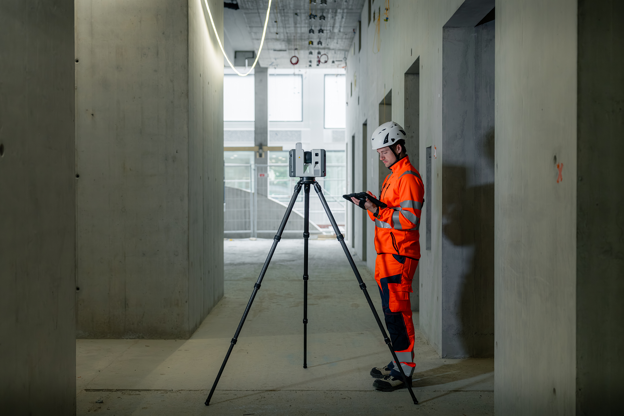
As project schedules compress and data volumes grow, geospatial teams across the construction industry are expected to deliver reliable, decision-ready information while work is still in progress. The RTC Series offers a new way of working for entire construction teams, delivering a real-time workflow architecture between users on-site and in the office so all project stakeholders can collaborate on the data.
With the new RTC series, scanning, registration, and data sharing become one continuous process: 3D data moves between field, cloud, and office. With Livelink, a new capability in Leica Cyclone FIELD 360, scan data streams to Hexagon GeoCloud as it is captured, reducing rework by letting teams confirm they've covered the entire site before the field crew leaves.